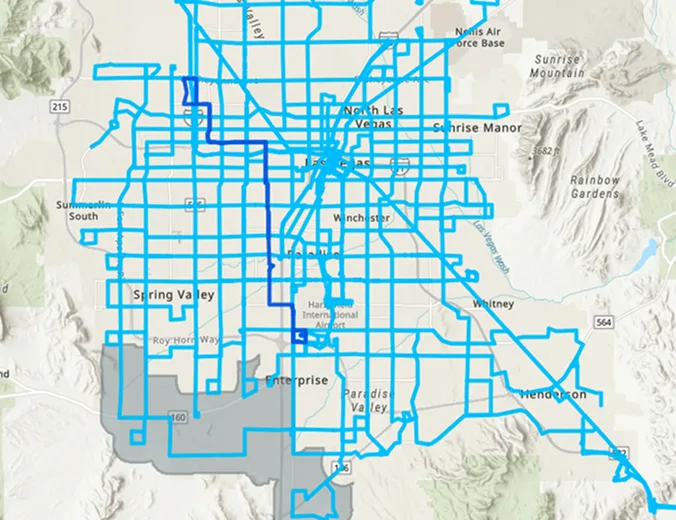
A map of the Las Vegas area with a network of bright blue lines showing various routes or pathways overlayed across streets and neighborhoods. Surrounding areas and landmarks are also labeled.

RTC Interactive Map

Please see our new rideRTC interactive transit system to help you locate bus stops near any address, view all stops along specific routes, view all routes that service a specific spot, view transit pass vendors, and see the next 4 arrival times at any stop.

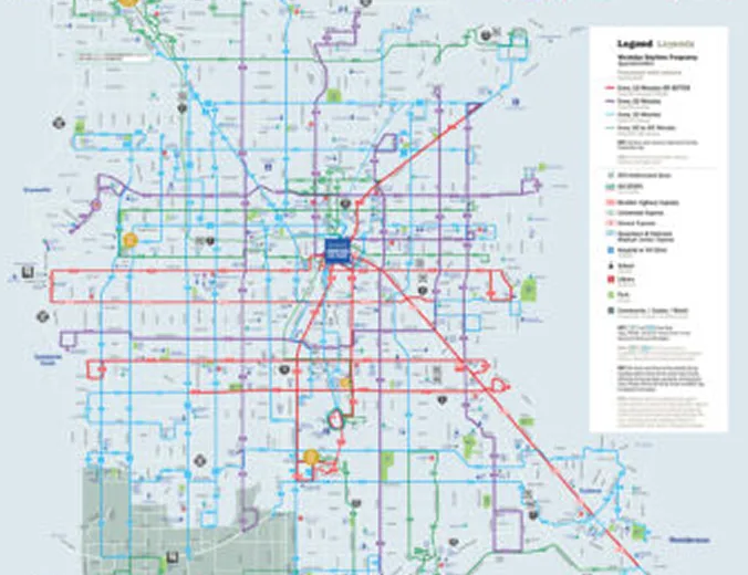
A detailed city transit map showing various bus and light rail routes in different colors, with a legend explaining route types and key locations marked across the urban area.

System Map (PDF)

The rideRTC System Map provides a color-coded map of routes for Las Vegas, downtown Las Vegas, Boulder City, and Henderson.

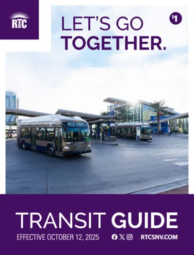
Buses parked at a modern transit center with palm trees and buildings in the background; text reads LETS GO TOGETHER. and TRANSIT GUIDE Effective October 12, 2025. RTC logo and website information are also visible.

rideRTC Transit Guide

The Transit Guide is a handy reference for routes, schedules, points of interest and so much more.

Inside the guide, you’ll find:

  • Schedules and frequency for every route
  • Updates to improve on-time performance and connections
  • Stop changes and service adjustments for safer, easier access
  • Info on park & ride lots, transit centers, and rideRTC-OnDemand zones
  • Pass options, reduced pass eligibility, and how to buy
A group of adults and children sit together on a bus, smiling and talking. The bus seats are blue, and the background shows large windows with a view outside.

Need Help?

Check our Help Center for step-by-step instructions.

Or call Customer Service: (702) 228-7433 Open daily from 7 a.m – 6 p.m.

TDD assistance, click here
(702) 676-1834