Sections in this page

Building a Better Southern Nevada

The Core MPO documents are the main documents for the RTC. They are key to how our agency operates and are crucial to our success. The federal government requires every MPO (Metropolitan Planning Organization) to create a Long Range Transportation Plan (RTP), a Coordinated Transportation Plan (CTP), a Public Participation Plan (PPP), a Transportation Improvement Program (TIP), and a Unified Planning Work Program (UPWP) / budget. These documents help guide our planning for the near future (UPWP), mid-term (TIP), and long-term (LRTP), while also directing our efforts to keep the public informed and involved (PPP).

They are all important for the MPO’s goal of improving transportation by focusing on sustainable, innovative, and fair infrastructure.
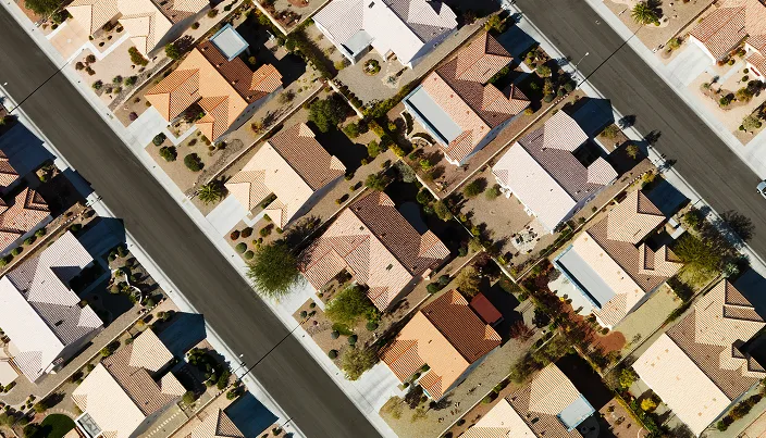
Aerial view of a suburban neighborhood with rows of houses featuring light-colored roofs, clean streets, small yards, and minimal landscaping.

Core Plans

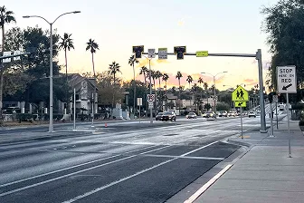
A wide street with cars driving in the distance, palm trees along the sides, a pedestrian crossing sign, traffic lights, and a Stop Here on Red sign by the sidewalk at sunset.

United Planning Working Program (UPWP)

This is a two-year program that outlines planning studies and activities for the RTC’s  MPO.

View Full Plan

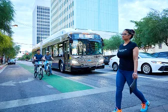
A woman walks across a city street in front of a public transit bus, while two people ride bikes in a bike lane. Tall buildings and trees line the street in the background.

Regional Transportation Plan (RTP)

Let’s Go 2050 serves as the long-range 20- year transportation plan.

View Full Plan

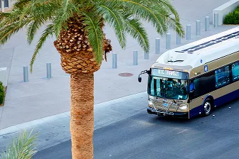
A city bus labeled RTC Tripper drives down a street lined with palm trees, seen from above on a sunny day.

Transportation Improvement Program (TIP)

This plan lists regional transportation projects set to get federal funding over the next four years.

View Full Plan

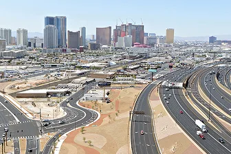
Aerial view of a busy highway interchange with cars and trucks, set against the backdrop of tall modern buildings and hotels in a city skyline, with desert landscaping in the foreground.

Annual List of Projects

This report outlines the transportation projects in Southern Nevada that received federal funding during the Federal Fiscal Year (July 1 – June 30).

View Full Plan

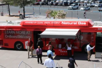
A red bus with Natural Gas written on top is parked outdoors. Several people stand near the bus, engaging at an information booth under an awning. Cars and trees are visible in the background.

Public Participation Plan (PPP)

Establishes methods for involving citizens and other groups in sharing their thoughts during the transit and planning process.

View Full Plan

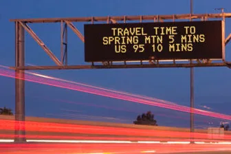
A digital highway sign displays Travel time to Spring Mtn 5 mins, US 95 10 mins above a road with red light streaks from passing vehicles at dusk.

Congestion Management (CMP)

Keeps track of traffic problems in the area. It also helps figure out the best ways to reduce traffic and make things run more smoothly.

View Full Plan

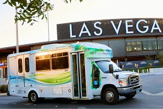
A white and green shuttle bus is parked in front of a building with a large LAS VEGAS sign, with some trees and street elements visible in the foreground.

Access to Social Services (CPT)

The Coordinated Public Transit-Human Services Plan brings together social service organizations, transportation agencies, and others to fix their transportation problems.

View Full Plan

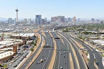
Aerial view of a wide highway with multiple lanes leading toward the Las Vegas skyline, including the Stratosphere tower, with buildings, palm trees, and clear skies in the background.

Other Projects and Studies

The MPO is working on projects and studies that go beyond the basics—like making it easier to reach parks, access healthy food, and travel safely in your neighborhood.

View All Projects and Studies

Aerial view of a wide highway with multiple lanes leading toward the Las Vegas skyline, including the Stratosphere tower, with buildings, palm trees, and clear skies in the background.

Regional Initiatives

We support projects that shape how Southern Nevada grows and gets around. We lead efforts like Southern Nevada Strong, the region’s plan for smart growth and healthy communities, and On Board, a long-term transit vision built from public input. We also manage tools like Seeing Orange, a map that shows road work, and the Regional Project Coordination system, which helps agencies work together to avoid overlapping construction. These efforts help improve travel, reduce delays, and keep the public informed.

Community Engagement

Public Meetings

RTC committees meet regularly to help guide transportation and regional planning. Meetings are open to the public, and you’re welcome to attend, view agendas, and share comments.

Get Involved

We want to hear from you. Use our public tools to share input and stay informed on what’s happening in your area.

Community Studies

Southern Nevada Strong 2050

Regional Project Coordination Map

A person wearing a dark jacket sits outdoors on stone steps, holding a smartphone with both hands. The phones screen is dark, and the background is softly blurred with railings and greenery.

Looking for More Information?

Find helpful info about studies, projects, and how we shape Southern Nevada’s transportation future in our Help Center

For further information regarding the RTC’s MPO and their ongoing projects in your community:

Andrew Kjellman kjellmana@rtcsnv.com (702) 676-1662