Sections in this page

What is Planning?

Designated under federal law as the Metropolitan Planning Organization (MPO), the RTC is responsible for overseeing the transportation and regional planning process for Southern Nevada. In addition, the RTC directs funding generated from various local, state, and federal funds for transportation purposes.
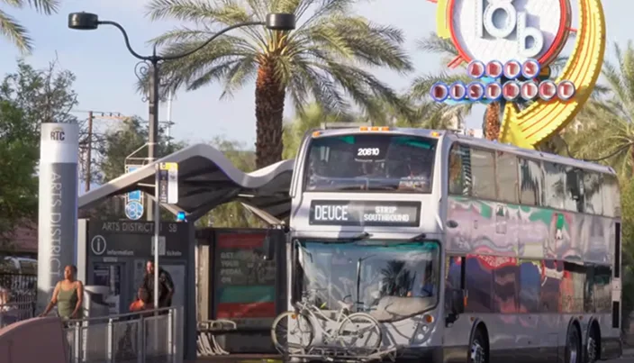
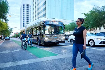
Bus in Downtown Las Vegas

Core Plans and Projects

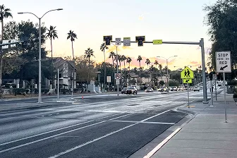
A wide street with cars driving in the distance, palm trees along the sides, a pedestrian crossing sign, traffic lights, and a Stop Here on Red sign by the sidewalk at sunset.

United Planning Working Program (UPWP)

This is a two-year program that outlines planning studies and activities for the RTC’s  MPO.

View Full Plan

Regional Transportation Plan (RTP)

Let’s Go 2050 serves as the long-range 20- year transportation plan.

View Full Plan

Transportation Improvement Program (TIP)

This plan lists regional transportation projects set to get federal funding over the next four years.

View Full Plan

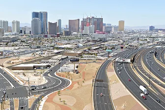
Aerial view of a busy highway interchange with cars and trucks, set against the backdrop of tall modern buildings and hotels in a city skyline, with desert landscaping in the foreground.

Annual List of Projects

This report outlines the transportation projects in Southern Nevada that received federal funding during the Federal Fiscal Year (July 1 – June 30).

View Full Plan

Engineering

What is Streets & Highways?

Transportation planning doesn’t stop at ideas—it leads to action. Some studies evolve into detailed plans or broader initiatives that guide regional priorities. When a plan is funded, it becomes a project—and that’s where the Streets and Highways team steps in. They work with local agencies to design, build, and improve roads, turning those plans into real-world improvements.
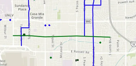

Explore Streets & Highways

A map showing street layouts with green and blue lines indicating specific routes, intersecting major roads such as S Pecos Rd, Spencer St, and McLeod Dr. Landmarks like UNLV and Casa Mia Grande are labeled.

Regional Project Coordination Map

The RPC Map shows upcoming roadwork and utility projects across Southern Nevada.

View RPC Map

A person wearing a watch and an orange sleeve is signing a document with a pen on a desk, with another persons hand and additional paperwork visible nearby.

Policies and Procedures

Current guidance for submittals, reviews, and project delivery. Open the archive for past versions.

View Policies and Procedures

A sharpened pencil rests on top of an architectural blueprint, featuring detailed measurements, lines, and annotations related to a construction or engineering project.

Uniform Standard Drawings and Specifications

Find standard drawings, specifications, and the latest approved or proposed revisions for RTC roadway projects.

View Standard Drawings and Specs

A close-up of a hand resting on a touchpad or trackpad next to a keyboard, with some electronic devices and cables partially visible in the foreground.

Submit Capital and Private Development Civil Plans

Upload civil plans and documents for review. Include project name, jurisdiction, and contact.

Submit a Plan